Global Positioning System (GPS) at SLAC
The
Alignment Engineering Group (AEG),
in cooperation with Site Engineering and Maintenance (SE&M),
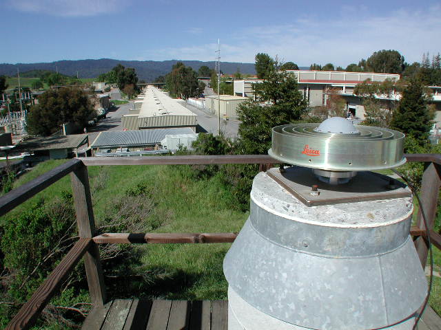
acquired three Leica SR-530 GPS (Global Positioning System)
receivers and associated equipment in October of 2001 [Leica
Demo]. The principal tasks that these geodetic receivers
will be used for are:
- establish a dense and precise three-dimensional on-site
reference network to be used by all interested parties;
- enable SE&M’s Facilities Management to map SLAC structures
in those areas that are presently without monuments using
RTK (real-time kinematic) technology;
- complement current and future surveys at SLAC requiring
external (i.e., outside of the tunnels) control points;
- assist in the design and analysis of the installation
phase of future physics accelerator projects such as the
NLC.
|