GIS in the Alignment Engineering Group (Obsolete Website) |
||||
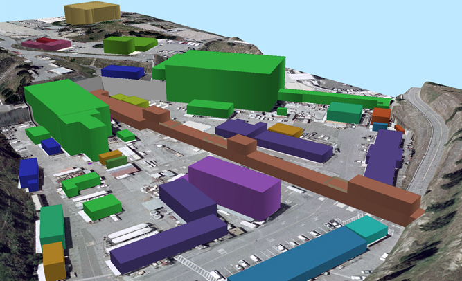 Buildings Tied into Building Manager Database (Example: Each Manager's Name a Unique Color - Legend Not Shown) |
|
The Alignment Engineering Group (AEG) stores and maintains large amounts of recent and archived survey data. After a detailed study on meeting the need to access and display this data, a Geographic Information System (GIS) was chosen. A system is now being developed and implemented in the AEG using ESRI ArcGIS software. As the system grows, sophisticated queries can be answered using intuitive graphical representations resulting in both 2D and 3D maps. These will be created "on-the-fly" using simple proximity analysis queries ("what is nearest", "how many are close by", "where is") and from complex queries displaying embedded information from associated databases. For example, displaying such requests such as finding particular magnets that have been aligned at a particular time or have moved a specified amount during a certain defined time. Customers of Metrology can have their data faster and in a clear and useful graphical format. The first stage 2D and 3D feasibility study is yielding very promising results. Data not necessarily related to surveying and Geomatics, such as utility information or building keymaps, will be added to the GIS when requested by SLAC customers. An accurate base-map correctly projected onto the earth's curved surface is necessary for accurately embedding any spatial information. The AEG site base-map is expanding using RTK-GPS and other accurate surveying methods. This serves as the well-defined foundation for the GIS and will grow and change as SLAC moves into the future.
|
||
|
|
View 3D Metrology / AEG GIS Movie | |||
|
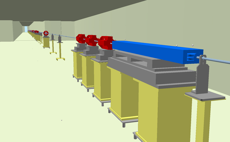
LTU Components and AEG Fiducials (Components Tied into Metrology and SLAC Databases - More Could be Added) |
||||