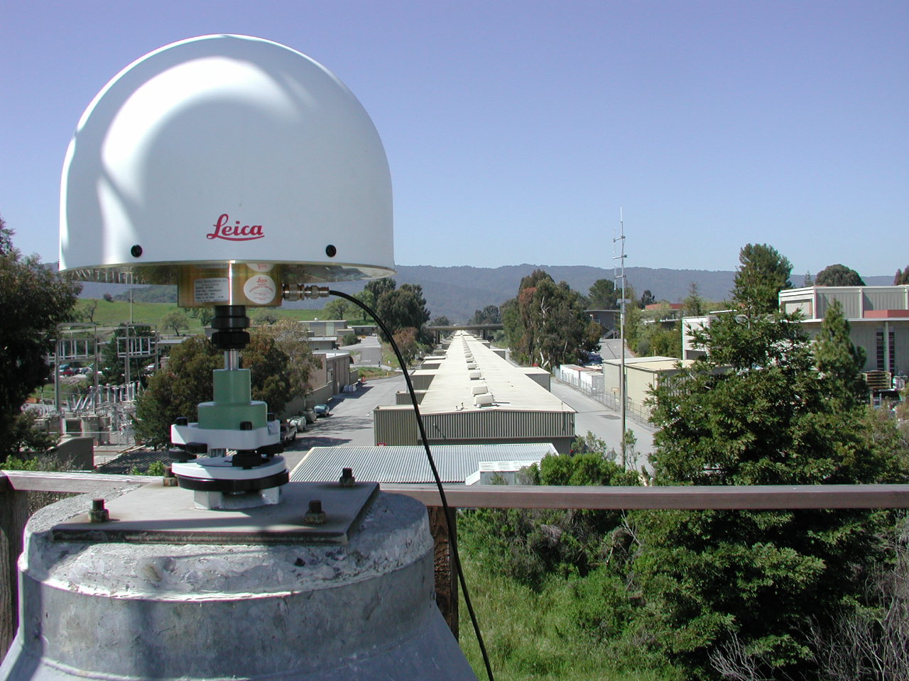
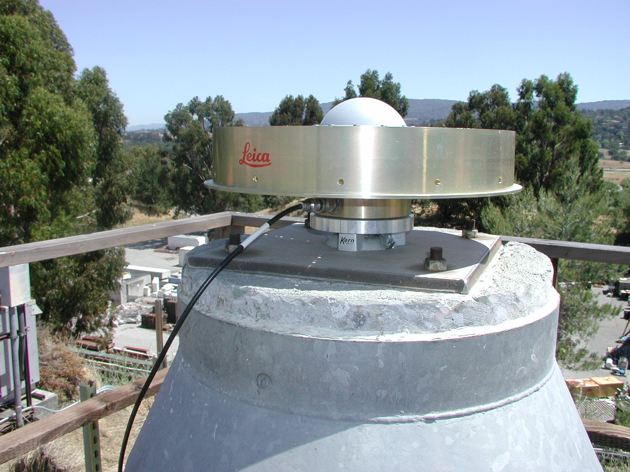
Official Coordinates for SLAC M40The official coordinates of the Master Control Station refer to the Antenna Reference Point (ARP) of the LEICA AT-504 GPS antenna. The ARP is located at the bottom of the preamplifier as indicated in the antenna diagram: LEIAT504
+-------+ <-- 0.1393
/ + \ <-- 0.1282 L2
| + | <-- 0.1093 L1
+-----------------+-------------+------------------+ <-- 0.1020 TCR
| |
| |
| |
| |
+-+--------------------------------------------------+-+ <-- 0.0380
+-------------------+-------------+--------------------+ <-- 0.0350 BCR
| |
| |
+------x------+ <-- 0.000 BPA=ARP
<-- 0.3794 -->
ARP: Antenna Reference Point
L1 : L1 Phase Center L2 : L2 Phase Center
TCR: Top of Chokering BCR: Bottom of Chokering
TGP: Top of Ground Plane BGP: Bottom of Ground Plane
TPA: Top of Preamplifier BPA: Bottom of Preamplifier
TOP: Top of Pole
All dimensions are in meters.
The current coordinates are also available in different datum definitions and with other representations.
For the datum conversion from ITRF2000 to NAD83 we used the transformation parameters as published by the National Geodetic Survey (NGS). The California State Plane coordinates Northing N and Easting E were computed with NGS's routine spsc83. The orthometric height H was derived from the ellipsoidal height h by using the GEOID99 geoid undulation value of N=-32.512m. For the current epoch (2002.90) velocity values have been determined (using approximately 1.5 years of data). In the ITRF00 and NAD83 reference frames the velocities take the following values:
|
|||||||||||||||||||||||||||||||||||||||||||||||||||||||||||||||||||||||||||||
